Search This Blog

Sunday, March 29, 2015

Mount Tinbeerwah, Tewantin National Park, QLD.

Mount Tinbeerwah Fire Tower
Most tourists are aware of the Glass House Mountains in the south of the Sunshine Coast but Mount Tinbeerwah 17 km west of Noosa Heads must be the Sunshine Coasts best keep secret. Mount Tinbeerwah is at the end of Tinbeerwah Road off the Noosa-Cooroy Road. The last section of road contains some gravel sections and climbs up to the car park.

Although signage still indicates that this area is a Forest Reserve it is now listed as National Park. No camping or pets are allowed but next to the car park there is a day use picnic area with pit toilets.


Day Use Area

Mount Tinbeerwah Lookout Track

The 1 km return, Class 4, track to the Fire Tower on top of Mount Tinbeerwah is an interesting walk through a volcanic landscape. The foundation of Mount Tinbeerwah was formed during volcanic activity 27 million years ago. Erosion has removed the soft outer sandstone and left behind the hard rhyolite core that we see exposed today. There is a lookout area about 130 m into the walk that can be accessed by pram or wheelchair.


First Lookout Area
The view out to Lake Cooroibah and Lake Cootharaba
The vegetation does an amazing job existing on the hard rhyolite surface and the mountain is surrounded by lush eucalypt forest.


Keep your eye out for hexagonal shaped cooling columns as you continue on to the Fire Tower.


On your right as you ascend there are several abseiling platforms equipped with anchor points. The cliff faces are largely fenced but please take care especially if you are walking with young children.


Abseiling platforms looking out to Mount Cooroy

Side view of the abseiling cliffs

We have abseiled here in the past. We have also climbed down to the base of the abseiling cliffs; although we didn't do it this time as we were carrying a fair bit of camera gear. The photo below was taken in 2011 and doesn't do justice in showing how high the cliffs are.


Looking back up the vertical cliff face after descending

If abseiling or rock climbing is not your thing then continue up to the Fire Tower, which is open to the public. Here you will find great views in all directions.


Noosa Heads

Mount Cooroora

Mount Cooroy

On this trip, in March 2015, we went in the morning but Mount Tinbeerwah is also a beautiful place to watch the sun set.


Wednesday, March 25, 2015

Noosa Botanic Garden, Lake Macdonald, QLD.


After our morning visit to the Fearnley Bird Hide (see previous blog) we made our way to Noosa Botanic Gardens on Lake Macdonald Drive. First we stopped on the lake edge for a picnic morning tea overlooking the lake.


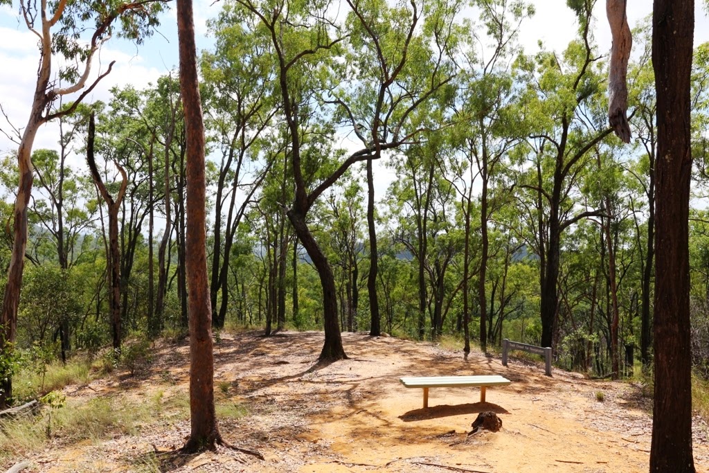
Fortified we walked up to the Botanic Gardens and had a very pleasant stroll around the grounds. We discovered that there are beautiful picnic areas in the gardens as well.


We loved the Sausage Tree Kigelia africana which was fruiting and flowering at the same time.


The gardens are landscaped into different areas including a small Sculpture Garden.


The amphitheater is very impressive and it is easy to imagine weddings and performances being held in such a beautiful setting.


We seemed to have chosen the hottest day of the year to walk around but despite the heat there were a few birds and butterflies around. We saw our photography nemesis, a Blue Triangle and of cause we got a photo of a Blue Tiger as they have been so numerous this summer.

Grey Butcherbird
Blue-faced Honeyeater, juvenile
Laughing Kookaburra
Blue Tiger Tirumala hamata

The Bird of Paradise Strelitzia reginae was putting on a good show.


We had planned on exploring further around the Lake Macdonald and having a picnic lunch at another park on the lake but due to the unseasonable hot weather we decided to head home early. I'm sure we will be back.

All photos were taken in March 2015

Sunday, March 22, 2015

Jabiru Park and Fearnley Bird Hide, Lake Macdonald, QLD.

View from the Car Park
Jabiru Park is about a 15 minute drive west of Noosa or 5 minutes east of Cooroy on the Sunshine Coast. Drive along the Cooroy-Noosa Road, from either direction, and take the sharp turn into Grange Road, then turn immediately left and follow Grange Road to the end where there is a small parking area and a picnic shelter. It is a short walk to Fearnley Bird Hide from the car park.


Fearnley Bird Hide
There were large numbers of Magpie Geese present when we visited in March and we enjoyed watching them bobbing up and down with their tails in the air. 


Magpie Goose
Most of the birds were a bit far away for us to take good photos. We also found that there were more birds in the direction of the morning sun so it might be better to come here in the afternoon (or Murphy's Law might be in play and the birds will probably move to be in front of the afternoon sun).

We saw Magpie Geese, Pelicans, Black Swans, Darter, Little Black Cormorants, Pacific Black Ducks, Hardhead Ducks, White Ibis, Egrets, Purple Swamphens, and Eurasian Coots. A pair of Plumbed Whistling Ducks were chaperoning ten chicks near the car park. Other birds that can be seen here include Black-necked Storks and Grebes.

We saw quite a few butterflies on the walk to the hide. We've never seen so many Evening Browns in one area before. 


Evening Brown on an uncomfortable perch

Wide-brand Grass-dart Suniana sunias

Splendid Ochre Trapezites symmomus

There were lots of dragonflies and Damselflies about:


Common Bluetail

After our visit here we drove to the Noosa Botanic Gardens, the subject of our next blog.

All photos taken in March 2015.

Thursday, March 19, 2015

White Rock Conservation Park, QLD.

White Rock
White Rock Conservation Park is about 30 km south-west of Brisbane. Although the parking area can be seen from Centenary Highway there is no access from the highway to White Rock. To find the entrance drive along Redbank Plains Road and turn into School Road. Follow School Road to the end and continue on a dirt section before arriving at the Horse Float Parking Area on the left or continue straight ahead to the Paperbark Flats Picnic Area Carpark. Please note that there are gates that are closed from 6.00 pm to 6.00 amNo camping or dogs are allowed in the conservation park. There is camping at Ipswich Showgrounds, where dogs are welcome, $20 per site for two people with power and water.

White Rock Conservation Park exists today because in the the late 1930s and 1940s it was used by American forces as a training area. Due to munitions scattered throughout the bush it was too dangerous to carry out forestry and timber cutting in the area. Koalas, wallabies, kangaroos, echidnas and even dingoes have been seen in the park. There are also rare and vulnerable plants recorded in the area.

White Rock Multi User Trail

White Rock Multi User Trail is 6.5 km return and is rated moderate for hiking and more difficult for mountain bike riding. We found the walk easy but there is a short climb with a few steps as you approach White Rock.

We have done this walk twice: in June 2014 and March 2015. In June last year we saw lots of birds on the walk to White Rock.

Red-browed Finch and Scarlet Honeyeater
Fan-tailed Cuckoo and Brown Cuckoo-Dove
Golden Whistler
In March this year we saw an abundance of butterflies. As well as the butterflies below we saw Small Grass-yellow Eurema smilax, Lesser Wanderer Danaus chrysippus and large numbers of what we think were Glasswing Acraea andromacha because they had distinctive transparent forewings but we didn't managed to get any photos.
Common Crow Euploea core and Blue Tiger Tirumala hamata

Evening Brown Melanitis leda

There were also lots of spiders and insects about.
St Andrew's Cross Spider and Garden Orb-weaver
Longheaded Grasshopper and Gum Tree Shield Bug

We saw a couple of interesting things along the track.
A Case Moth was painstakingly making its way through the dust to cross from one side to the other and we saw this grasshopper which appeared to be laying eggs right in the middle of the track.


White Rock


White Rock
Rest area at White Rock
White Rock is an impressive sandstone outcrop. It is possible to scramble to the top but, whilst this is allowed by the Ipswich Council, the local aboriginal community have asked that people don't climb it. Bouldering is not allowed on White Rock itself but is allowed at ten other sites in the conservation park. We were saddened to see a huge graffiti tag on the rock that wasn't there last time we visited.

The Ridge Track

We returned to the carpark via The Ridge Track which is a Class 5 walk. It is easy to see where this track starts near White Rock but the trailhead at the other end is much harder to find. We took coordinates for future reference: S27 41.141 E152 51.232
We really enjoyed this part of the walk. There is a short scramble to get up onto the ridge then the going is fairly easy along the top. There are lovely views out over the tree tops.


The Ridge
View from the Ridge Track out to Mt Stapylton Radar
Six Mile Creek Boardwalk

On our return we took the, Class 2, 375m walk along a boardwalk through paperbark forest.

Six Mile Creek Boardwalk
Blue Skimmer, female and Scarlet Percher

Bluff Lookout Circuit

From the Boardwalk the Bluff Lookout Circuit Hiking Track is a further 200 m walk, rated as moderate, as it is a short climb to the top of a rocky outcrop. The view is not particularly good but the rock formations are interesting. We saw some people just packing up their mat after a bouldering session here. Bouldering is a form of rock climbing without ropes and harnesses and is always inspiring to watch so we were sorry we missed it.


The rock where people were bouldering

We returned to the carpark ready for some lunch. Paperbark Flats is a pleasant picnic area with toilets and picnic tables scattered under shady trees. At Horse Float Parking Area there is a large picnic shelter. 

A longer 19 km hike, that we haven't done, is the Yuddamun Trail. It leaves from the Horse Float Parking Area and can be done on foot, mountain bike or horse.