 |
| White Rock |
White Rock Conservation Park exists today because in the the late 1930s and 1940s it was used by American forces as a training area. Due to munitions scattered throughout the bush it was too dangerous to carry out forestry and timber cutting in the area. Koalas, wallabies, kangaroos, echidnas and even dingoes have been seen in the park. There are also rare and vulnerable plants recorded in the area.
White Rock Multi User Trail
White Rock Multi User Trail is 6.5 km return and is rated moderate for hiking and more difficult for mountain bike riding. We found the walk easy but there is a short climb with a few steps as you approach White Rock.
We have done this walk twice: in June 2014 and March 2015. In June last year we saw lots of birds on the walk to White Rock.
_collage.jpg) |
| Red-browed Finch and Scarlet Honeyeater |
_collage.jpg) |
| Fan-tailed Cuckoo and Brown Cuckoo-Dove |
 |
| Golden Whistler |
 |
| Common Crow Euploea core and Blue Tiger Tirumala hamata |
 |
| Evening Brown Melanitis leda |
There were also lots of spiders and insects about.
 |
| St Andrew's Cross Spider and Garden Orb-weaver |
 |
| Longheaded Grasshopper and Gum Tree Shield Bug |
We saw a couple of interesting things along the track.
A Case Moth was painstakingly making its way through the dust to cross from one side to the other and we saw this grasshopper which appeared to be laying eggs right in the middle of the track.
.JPG)
White Rock
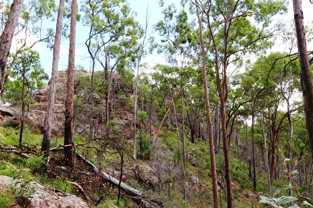
 |
| White Rock |
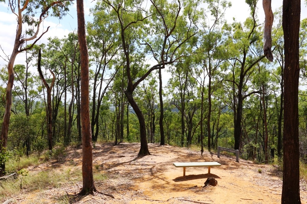 |
| Rest area at White Rock |
The Ridge Track
We returned to the carpark via The Ridge Track which is a Class 5 walk. It is easy to see where this track starts near White Rock but the trailhead at the other end is much harder to find. We took coordinates for future reference: S27 41.141 E152 51.232
We really enjoyed this part of the walk. There is a short scramble to get up onto the ridge then the going is fairly easy along the top. There are lovely views out over the tree tops.
 |
| The Ridge |
 |
| View from the Ridge Track out to Mt Stapylton Radar |
On our return we took the, Class 2, 375m walk along a boardwalk through paperbark forest.
 |
| Six Mile Creek Boardwalk |
 |
| Blue Skimmer, female and Scarlet Percher |
Bluff Lookout Circuit
From the Boardwalk the Bluff Lookout Circuit Hiking Track is a further 200 m walk, rated as moderate, as it is a short climb to the top of a rocky outcrop. The view is not particularly good but the rock formations are interesting. We saw some people just packing up their mat after a bouldering session here. Bouldering is a form of rock climbing without ropes and harnesses and is always inspiring to watch so we were sorry we missed it.
 |
| The rock where people were bouldering |
We returned to the carpark ready for some lunch. Paperbark Flats is a pleasant picnic area with toilets and picnic tables scattered under shady trees. At Horse Float Parking Area there is a large picnic shelter.
A longer 19 km hike, that we haven't done, is the Yuddamun Trail. It leaves from the Horse Float Parking Area and can be done on foot, mountain bike or horse.
No comments:
Post a Comment